INSPIRATION
Mountains Of The Moon
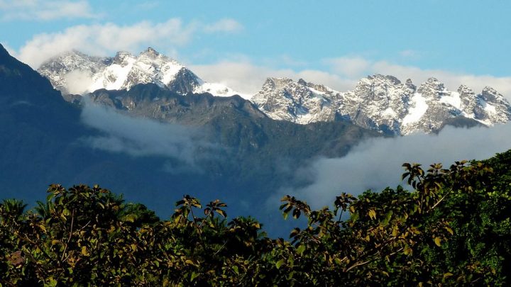
With the weather closing in and visibility near zero just a short climb from the peak of Mt Stanley, the highest peak in the Rwenzori Range, Hollie M’gog wonders if she might be out of her depth.
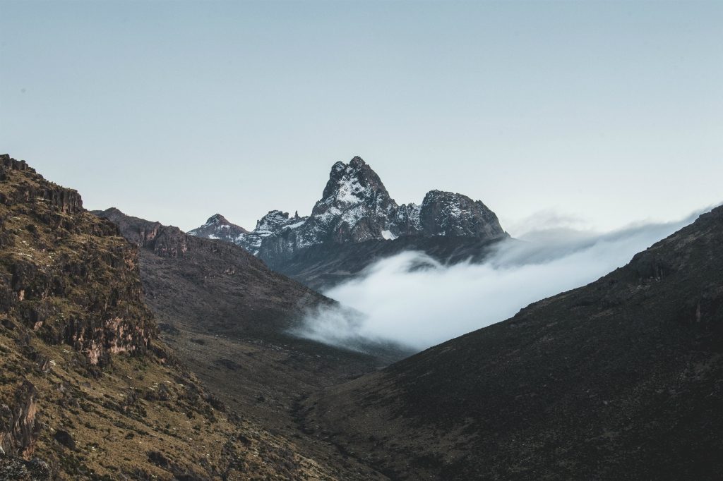
The wind howled around us as I pulled my woollen fleece lined hat firmly down over my ears and held it there. Clouds jostled about us and at times, my companion Anne-Marthe simply vanished. Surely, my miserable cold mind reasoned, we had to turn around soon?
The crampons felt strange on my feet, constricting and unwieldy. Anne-Marthe motioned to me to keep my feet apart so as to make sure the sharp teeth didn’t catch on the alternate leg and trip me up. I was tired and fighting to keep my concentration clear.
I peered into the white-out ahead and around me and caught sight of Grace, the third member of our small party, signalling to stop. It was a crevasse – quite a large one: Grace drilled in a snow screw and carefully crossed the deep chasm. My heart hammered as I stepped into her prints. This whole game was new to me: I had never donned crampons, never crossed crevasses, never been roped to someone else on a mountain climb.
We were attempting to climb Mt Stanley, Africa’s third-largest mountain straddling the border of Democratic Republic of Congo and Uganda, part of the Rwenzori range sometimes romantically described as the Mountains of the Moon. Our Congo adventure started in the White House Hotel in Kasese, Uganda, a half-hour from the border. The waiter brought breakfast to our table – dry sweet toast and a pile of tropical fruit.
“Do you like rain?” he asked with a smile. “It will rain on the mountain this week.”
We hoped not, but in reality the rain was inevitable. With a map spread out on the table, we re-worked the small details as we waited for our lift.
A BODA-BODA INTO CONGO
We crossed the border feeling bold, excited and fit. Photos with border officials complete, our pre-arranged transport met us and off we motored along a road beset with deep mud holes. It wasn’t long before we joined a trailing tail of trucks at an enormous truck sink-hole.
Alex
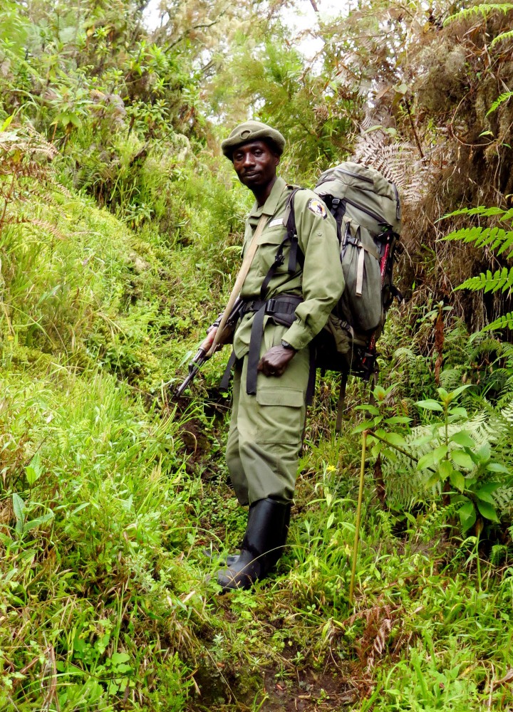
In minutes, we turned the smiling Congolese bystanders into an efficient line of porters to carry our gear through the mud to the other side where we managed to hitch a lift with a UN official. Not too happily and with much talk of rebels, they dropped us on the road edge 40 km towards Beni. Here we met our mountain ranger Alex, hired boda-bodas and headed, in a fine drizzle, to Mtwanga, our climbing base.
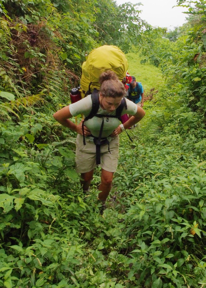
Welly boots being my climbing shoe of choice, we started up the mountain beneath breaking cloud. It was a steep climb up to ‘The Guides Hut,’ an old Belgian cabin and a welcome place to rest. Beyond, the jungle closed in and the tropical heat made us glad of light clothes. The path crept along ridges, wound down to clear flowing streams, under rocky overhangs, through giant tree ferns and bananas.
Chimps had been feeding on banana shoots and their messy eating littered the way. We began to hear them – hysterical shrieks, excited hoots and mutterings. Luxuriant undergrowth broke suddenly to allow glimpses of the thick vegetation of the neighbouring ridges and our minds kept creeping back … we were in the jungle … in the Congo! And then we arrived at Kalonge Hut, where we marvelled at how comfortable, well built and practical it was. Isaac, our porter, already had the fire lit and the kettle boiling.
UPWARDS TO THE MOON
Before we could push for the summit, we had three days of upward slog, safari ants in angry lines and grasses that reached out to sting with pesky hairs. On one crest, a metal cross marked an old shrine site, now banned by the government, where one would pray for a safe and successful ascent. We shared a nutty trail mix and hoped for no rain. In the Cloud forest, orchids rang with invisible tree frogs, fruity throated turacos and green pigeons. When the forest broke and the vast tract of Congo lay at our feet, tree heathers with green and brown lichens began. The heavens sent rain, we found cover and as the sun sank, the Gods drew back the clouds to reveal the snow capped peaks of Mt Luigi (4,627m).
Lac Noir
It was a tough climb to Kiondo Hut (4,303m). Lac Noir and glimpses of Lac Vert appeared below us. Dusk brought clarity and more snowy peaks but the hut was cold, the air noticeably thinner and teas cooled fast, so we bedded down and slept dry.
ON CRACKED ICE
As Kiondo fell away, we headed down towards the shores of Lac Vert over a dicey rock scramble with fixed ropes to grip. Water had made the path down slippery and it took balance and skill to reach the lake. The rainheavy clouds followed us up the scree slopes and glacial moraine to the little square shape of Moraine Hut where we nursed hot tea as the rain began.
3am and the stars were twinkling. The rain had gone.
5am and the stars had disappeared. By 5.30, we were roped up on the Stanley Glacier, crampons, snow boots, ice axes and gloves. The wind had picked up and was uncomfortably cold.
OLYMPUS DIGITAL CAMERA
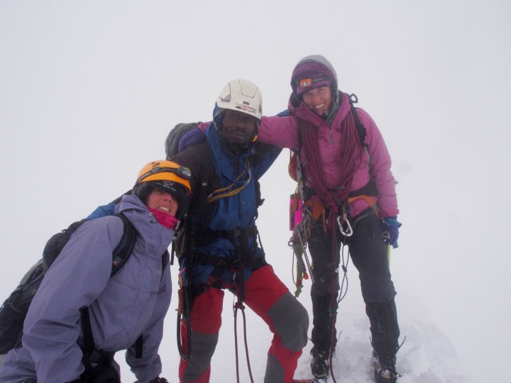
“It’s knowing when to make the distinction between being very cold that you think you are in danger and being dangerously cold,” coached Anne-Marthe, who had previously succumbed to frostbite while setting polar bear fences around tent camps in the Arctic. “And right now, you are just Hollie complaining about being cold.”
The Stanley Glacier ended and the wind howled. Scudding clouds raced towards each other in the dawn and the visibility lessened. We un-roped and began the hour-long navigation between, over, under and around the rocks.
Pausing at the base of the Margherita glacier, we roped up again. Grace led, followed by Alex and me, with Anne-Marthe bringing up the rear with her quiet confidence. My confidence wavered when Grace stumbled at our first crevasse and I watched carefully as she made the crossing safe for us.
“Ok, now stop!” Grace called out loud and clear. “You’re going to need to add some speed and jump the gap.”
I fumbled with the weight of my clothes and pack and wondered if I could do it. “It’s only about a sixty centimetre gap,” said Grace. “But you need to make sure you get across it, failing is not an option.”
I jumped. And seemingly with ease, I landed on the other side.
Just 20 minutes further on, we came to a snow lip but there was no visibility left. We knew that Mt Stanley’s Margherita peak (5,109m) stood to one side, but where?
Alex looked at the cloud. “The weather is turning,” he said. “These clouds could bring rain, and rain is not good for crossing crevasses safely.”
Grace looked at the altimeter. We were 200 vertical metres from the summit. The wind rushed her words away as she conferred with Anne-Marthe. “I think we have to turn back. We can’t risk it.”
And so we turned back. So close and yet so far, and yet for me this was an irrelevance, my diary captures my mood exactly: “For the first time on ice in crampons, I feel that I’ve come away successful.”
Practicalities
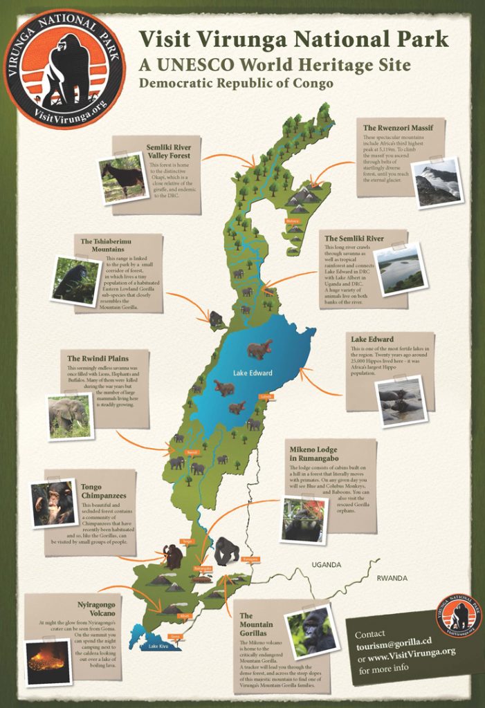
From the Congo side, it takes about five or six days to reach Margherita Peak (5,109m) on Mt Stanley in the Rwenzoris. It is best arranged via the Visit Virungas website, and will cost approximately $700, excluding visa costs. From the Ugandan side, it takes about seven or eight days, and treks are arranged by Rwenzori Trekking Services or Rwenzori Mountaineering Services. The cost is approximately $900-$1,000 for the round trip.
* Note: Tourism is currently suspended in Congo’s Virunga National Park. Check out www.virunga.org for updates.
TAGS
Our Top Experiences
SEEN SOMETHING YOU LIKE?
Enquire now and our team will create a custom itinerary tailored to your preferences.

CONTACT
enquiries@nomad.africa
Tel: +254 708 238 738
Purple Nomad Ltd
PO Box 69671 - 00400
Mwanzi Avenue, Nairobi, Kenya


